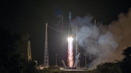

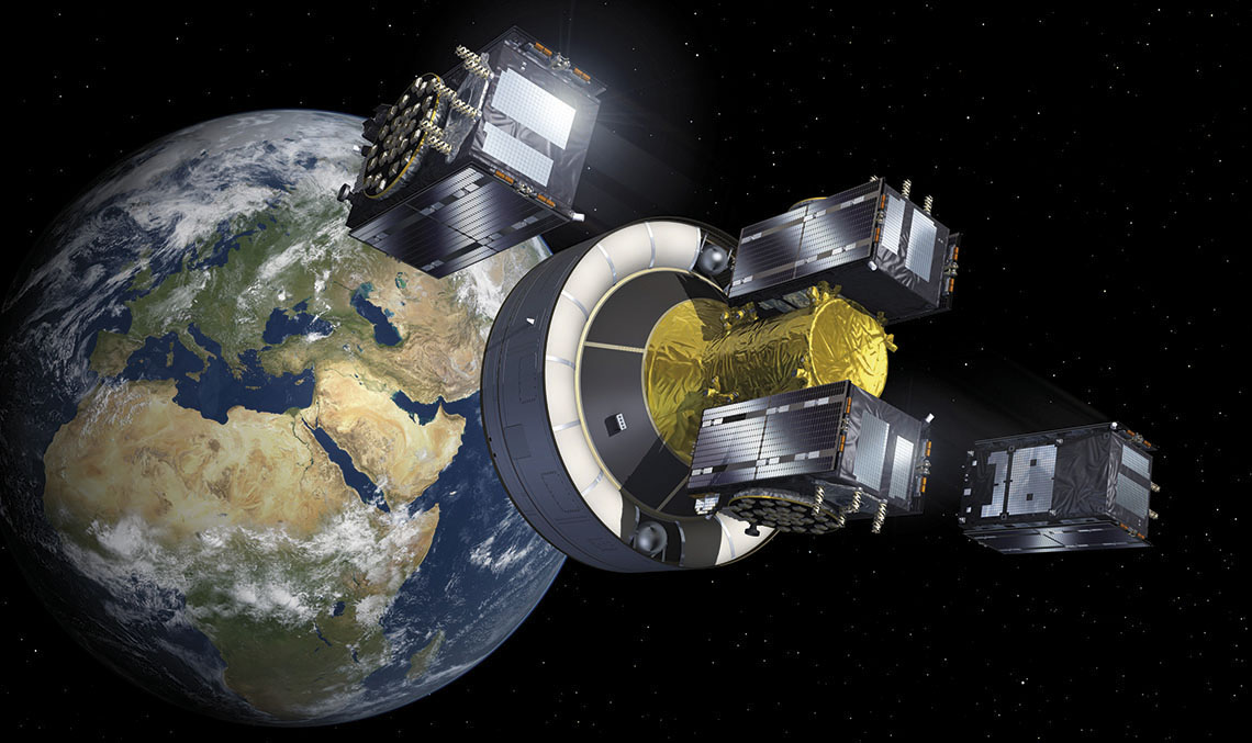
When the Galileo satellite radio navigation and positioning system is fully operational, with its 30 satellites deployed, it will be possible to determine the location of people and objects with a precision and speed that are currently unattainable. In addition, it will provide Europe with a navigation system that is independent from the existing satellite positioning systems such as the North American GPS which operates using 31 satellites and Russia’s GLONASS, which uses 24 satellites.
The North American and Russian systems, along with the Chinese BDS, operate under military control, making Galileo the only one designed for civilian purposes and completely open to commercial use. It will also provide Europeans with independence from the Russian and American systems, which is of strategic importance, taking into account that, if they were to be blocked, up to 10% of the European economic activity depends to a greater or lesser extent on satellite navigation.
The importance of these systems in the world economy and transport is growing, along with the range of uses. It is for this reason that, after more than ten years of work, the European space industry and institutions have been able to conduct a project to deliver the highly competitive performance that will finally give Europe its desired technological and strategic independence. It will also allow access to a market with great potential for growth. See https://www.gsc-europa.eu/.
Galileo will provide signals for positioning, navigation and time measurement that are much more accurate than the other systems
When it is fully operational, Galileo, which was developed by the EU with the assistance of the European Space Agency (ESA) and whose services are operated by the European Global Satellite Agency (GSA), will provide signals for positioning, navigation and time measurement with much greater accuracy than the other systems, free of charge, for an unlimited number of users, and with the guarantee that the signals will be available anywhere in the world. It will be interoperable with the GPS system and will offer a paid commercial service that provides high precision and authentication.
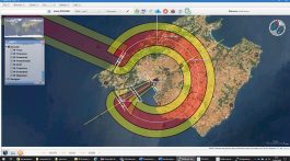
Moreover, Galileo will offer a two other services: the PRS (Public Regulated Service) service which has highly robust signals that protect against malicious interference and which is intended for government use by security and civil protection organisations; and support for the SAR service (search and rescue), a European contribution to the international rescue service COSPAS-SARSAT. One of the biggest innovations is the incorporation of a return channel that informs those seeking assistance that their message has been received and that help is on the way. In addition, the Galileo technology makes it possible to reduce the search radius, and with it, the rescue time, which is a critical factor in saving lives on these missions.
According to the European Global Satellite Agency (GSA), the market for applications based on satellite navigation systems will grow 11% per year in Europe over the next few years, reaching 165 billion Euros in 2020, just for activities directly related to the system (chips, maps or services), without taking into account the activities facilitated by this technology, such as mobile phones with satellite navigation capabilities (GNSS). Galileo will be key to the introduction of this technology to the market, to complement the GPS system.
Galileo, in conjunction with GPS, will open a new era of satellite navigation through the introduction of the ‘multi-constellation’ concept. In the case of rail transport, aviation or road, this combined use will be very useful for fleet management, pinpointing the location of vehicles or vessels in real time, even in remote locations or in areas with poor visibility.
Satellite navigation is also an essential tool for scientists, astronomers, geologists and biologists who follow the movements of planets, the Earth and wildlife. For example, this type of positioning and location system allows animal tracking or drone monitoring. In addition, its time measurement, which is accurate to one billionth of a second, allows all kinds of measurements and scientific experiments to be performed with great accuracy.
1.5 BILLION FOR SATELLITE MANAGEMENT
In December 2016, the GSA, the organization responsible for operation of the Galileo system, awarded the contract for its operation and maintenance for the next 10 years to Spaceopal, a company formed by the Italian company Telespazio and the German company DLR GfR, which already managed the Galileo Control Centres (GCC) in Italy and Germany, respectively. Spaceopal’s industrial team includes the participation of a Spanish group led by Ineco with the collaboration of INTA and Isdefe.
The contract, valued at 1.5 billion Euros, includes the operation and maintenance of the Galileo system:
- Operation of the Galileo satellites from the two main control centres located in Germany and Italy.
- Service and information to the users, as well as activities for the evolution of services and applications from the GSC centre, located in Madrid, for the data distribution network of Galileo.
- Logistics and maintenance of the system.
- Management of minor developments and support for major developments of the system.
Named after the Genius
 The astronomer, physicist and mathematician Galileo Galilei, born in Pisa (Italy) in 1564, would certainly appreciate the progress of a project like the one that bears his name. He was found guilty by the Inquisition for maintaining, among other theories, that the Sun was the centre of the solar system and the Earth rotated on its own axis. Although there is no historical record, he is credited with the famous sentence spoken before the court: Epur si muove. Although he officially recanted his scientific assertions, thanks to which his prison sentence was commuted to lifelong house arrest, he continued researching them until his death in 1642, the same year in which Isaac Newton was born. The image shows, Galileo teaching the Doge of Venice how to use a telescope. Fresco de Giuseppe Bertini (1825-1898).
GALILEO WILL BE MANAGED FROM MADRID
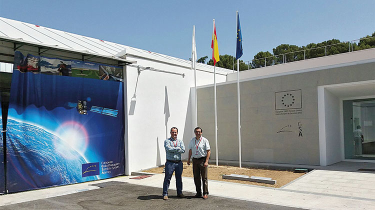
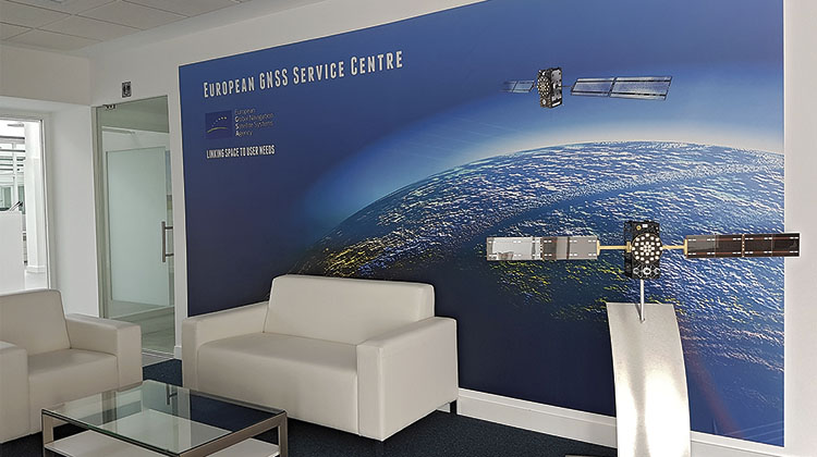
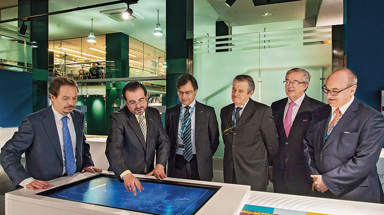
The GSC in Madrid is the international centre for support and assistance to the users of the Galileo system. Its management, operation and maintenance will be provided by Ineco with the collaboration of the Spanish entities INTA and Isdefe.
The main mission of the GNSS Service Centre (GSC), located at INTA’s installations in Torrejón de Ardoz (Madrid), will be to serve as a link between the Galileo system and the users of its free as well as its commercial value-added services. The centre includes services such as:
- User support.
- System website.
- Electronic library for the distribution of documentation.
- Publication of professional products.
- Engineering Unit and GNSS ‘expertise’.
- Management of commercial service users.
Ineco’s participation in this project began in 2010 when it carried out a study, funded by Aena under the supervision of the Ministry of Public Works, to define the scope of the GSC. Key Spanish space engineering companies also participated: Indra, GMV, Deimos, Hispasat, INSA and INTA. Since 2014, the company has been providing engineering services in the field of satellite navigation under various contracts signed with the European GNSS Agency (GSA).
Previously, the company has led a number of European projects and has participated in test flights and trials guided by the European satellite navigation system, EGNOS, a forerunner of Galileo. The EGNOS system improves the performance of GPS (and in the future, of Galileo) and facilitates aircraft guidance, increasing accuracy by up to half a metre. In addition, it allows aircraft to perform instrument approaches and landings at airports without the need for additional land-based infrastructure, thanks to the provision of signal integrity in space and the possibility of vertical guidance of the aircraft.